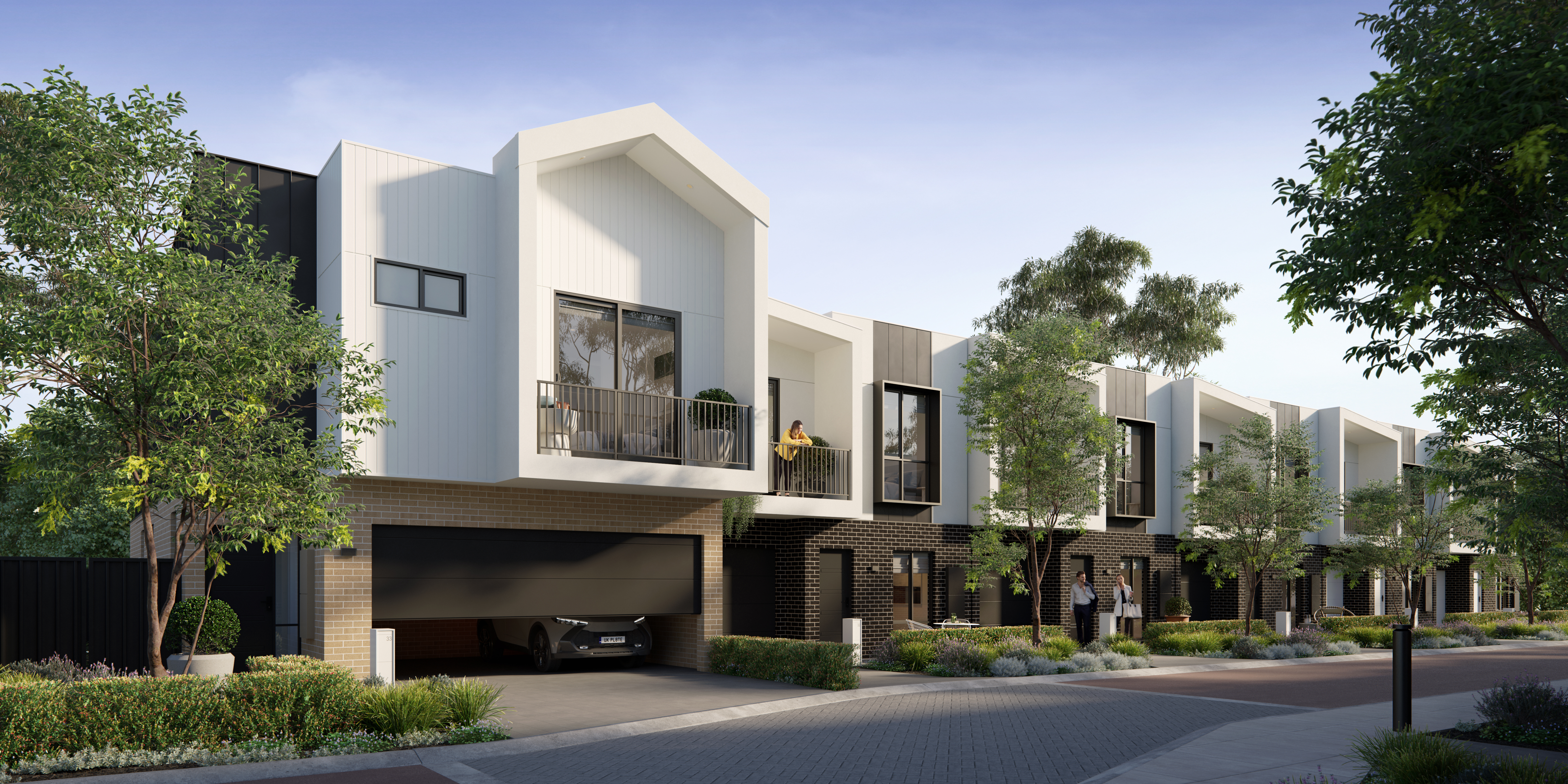
Something new, something different, has arrived in Glendalough
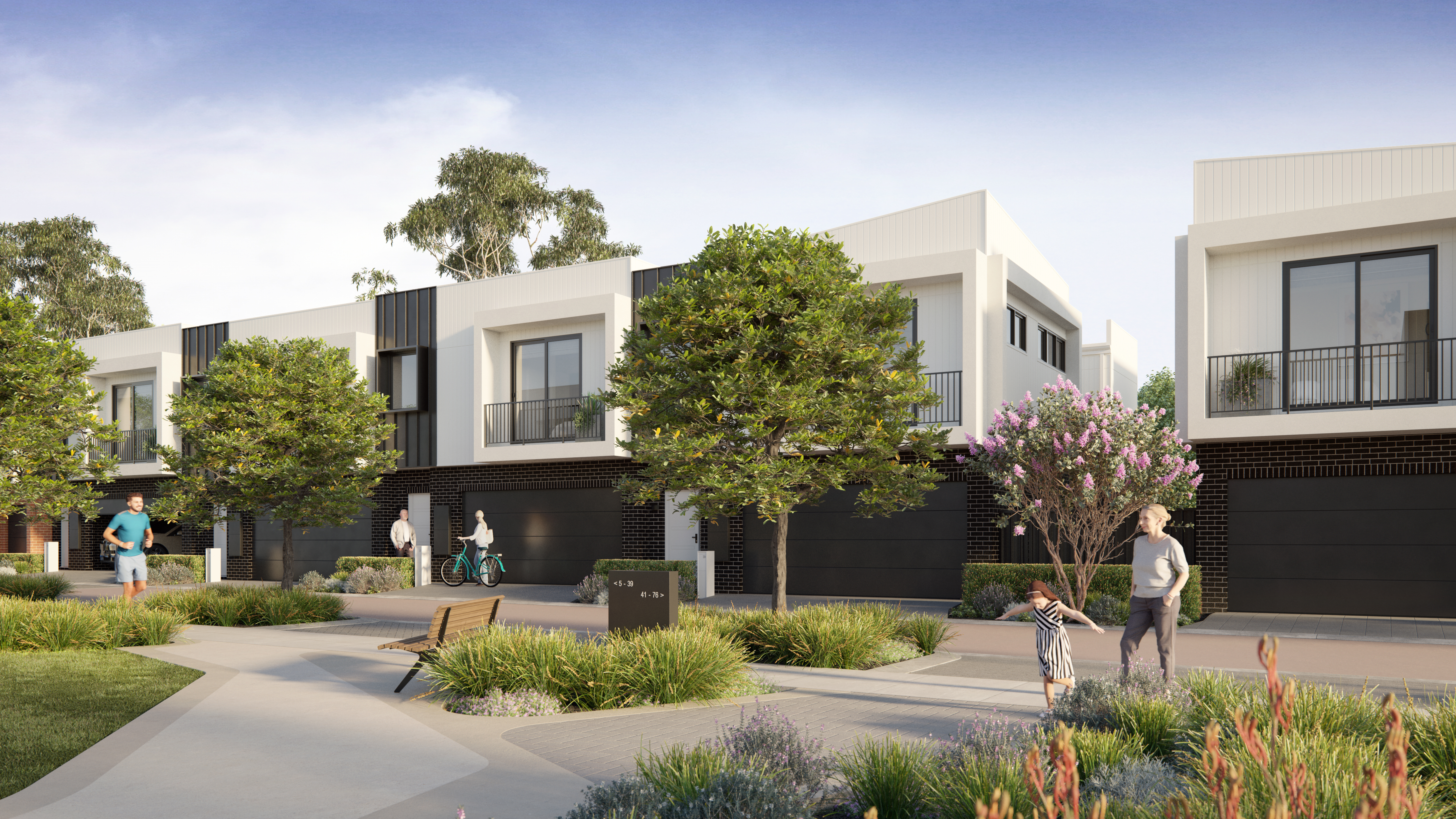
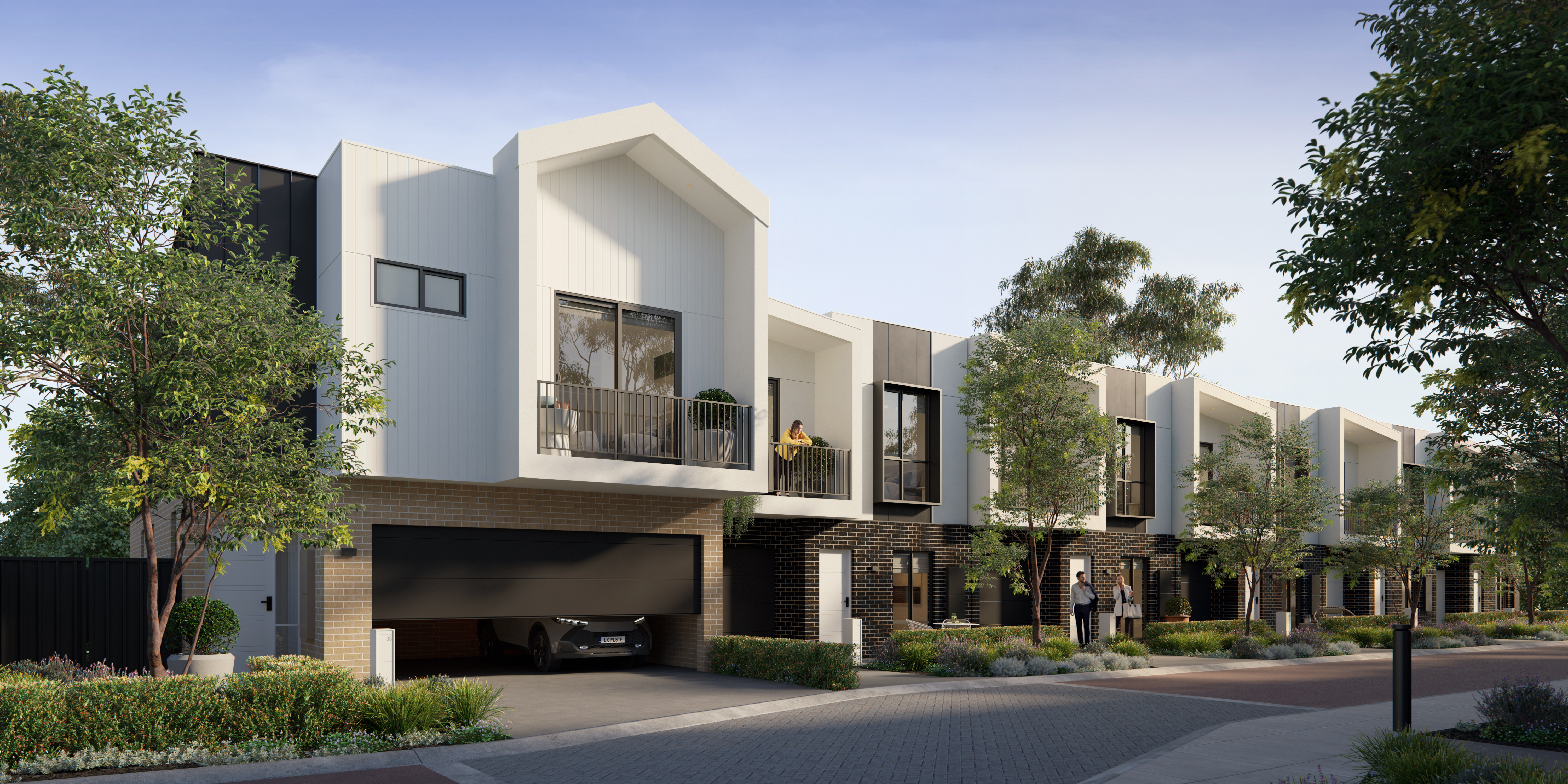
This is Glendalough Green, a premium mews-style community of architect-designed townhouses offering urban convenience at the front door, and wide-open parklands at the back gate.
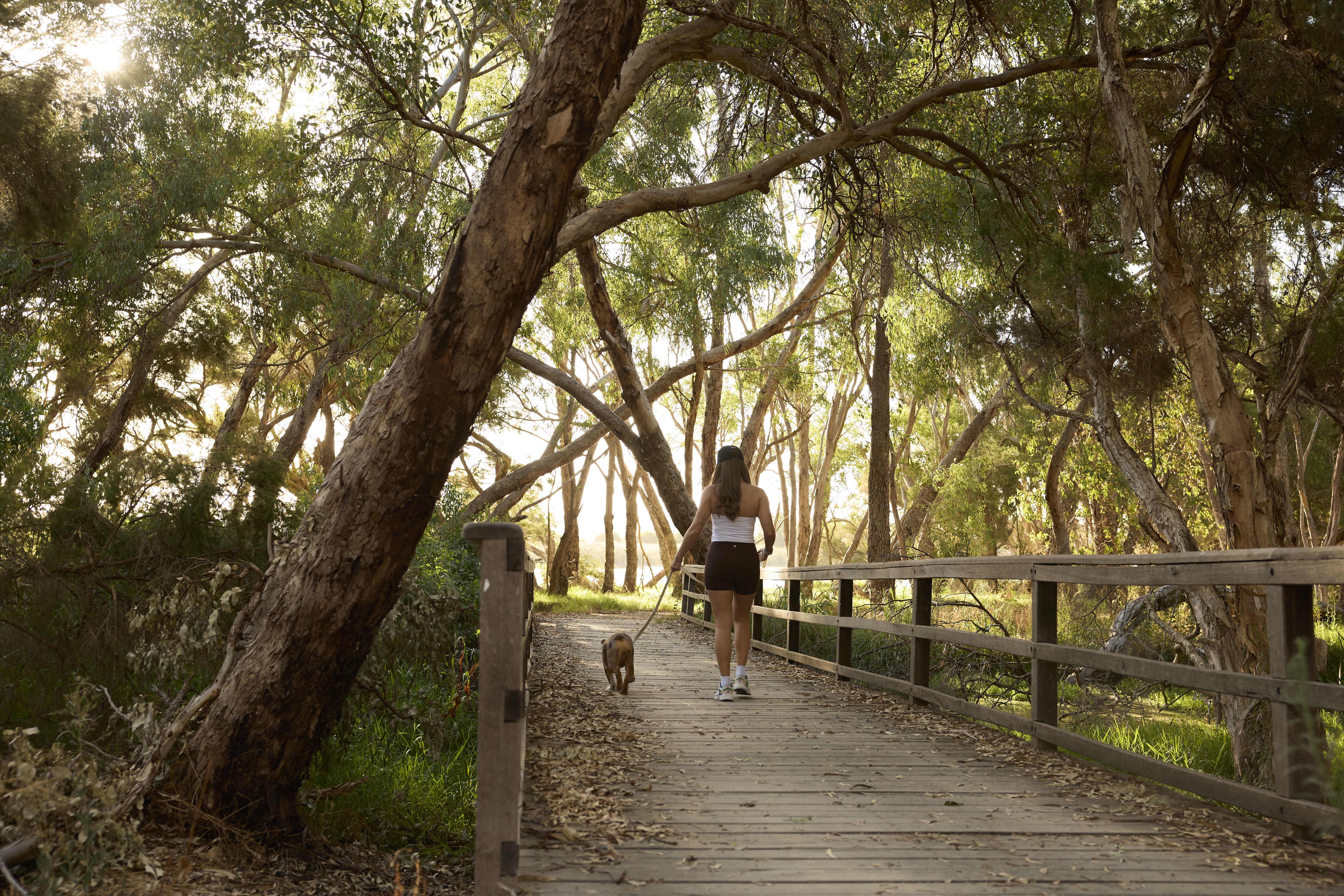
If you’re ready for a smart, sophisticated new lifestyle that’s close to the city while still being on the doorstep of the beauty and tranquility of nature, Glendalough Green is ready for you.
to Perth CBD
to Westfield Innaloo
to Glendalough Train Station
to Herdsman Lake
to Bob Hawke College
Made Different,
Made For You,
Made With Thoughtful
Focus On The Wellbeing
And Quality Of Life
Glendalough Green is made different. It’s in the attention to detail, the human scale of the architecture, the design with its thoughtful focus on the wellbeing and quality of life of everyone who lives there. It’s the emphasis on the things that matter to you – family, community, the environment and shared values.
It all makes for a different kind of lifestyle. A central communal open space will bring the Glendalough
Green community together, with play equipment, barbecues and picnic tables on the lawn under the
shade of mature trees.


Latest News